


 首页
首页

Geospatial
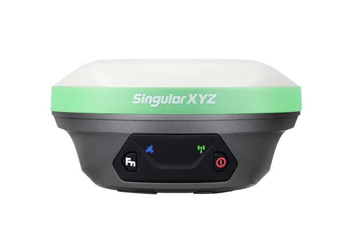
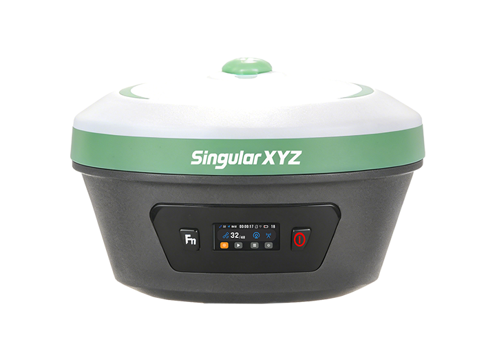
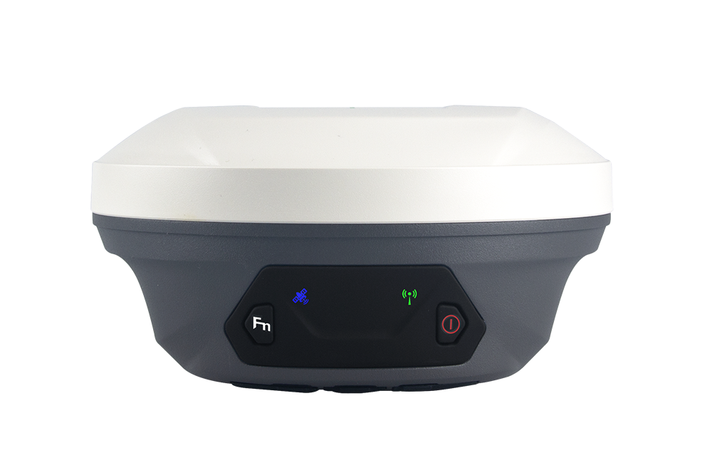
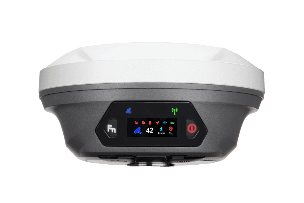
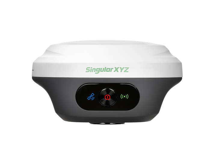
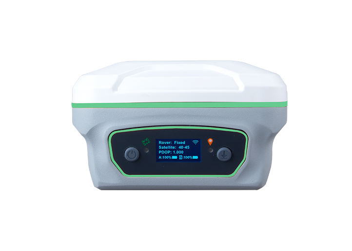
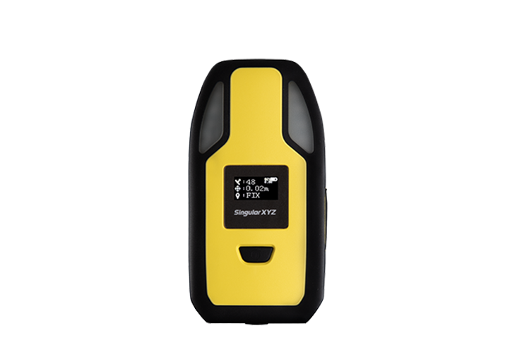
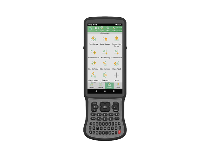
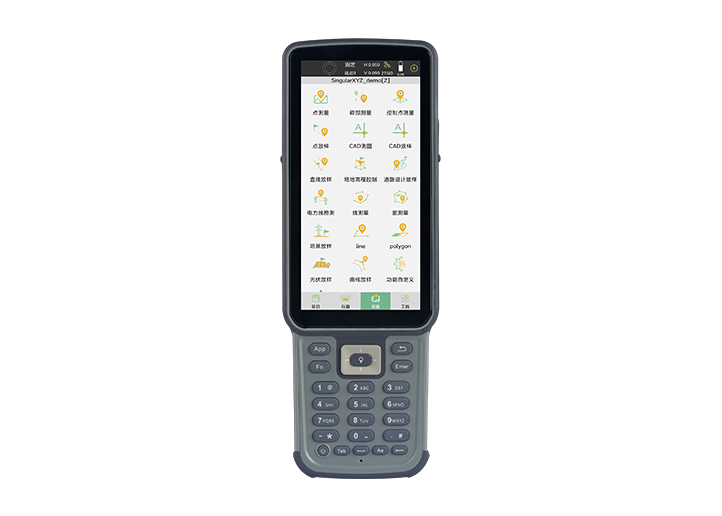
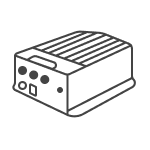
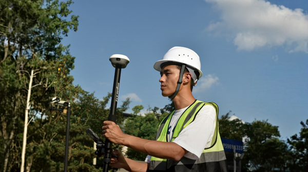
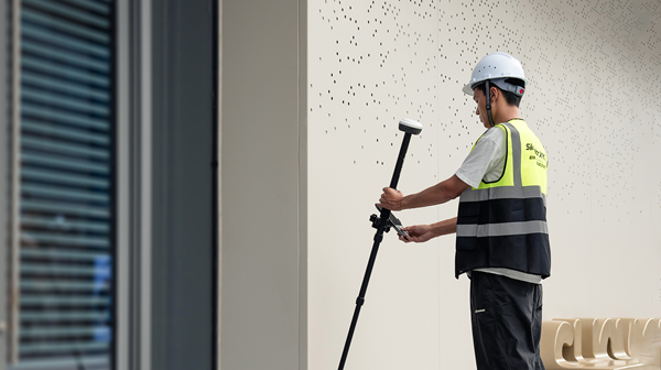
Tech Chat | Mastering RTK Radio Mode Setup for Seamless Surveys
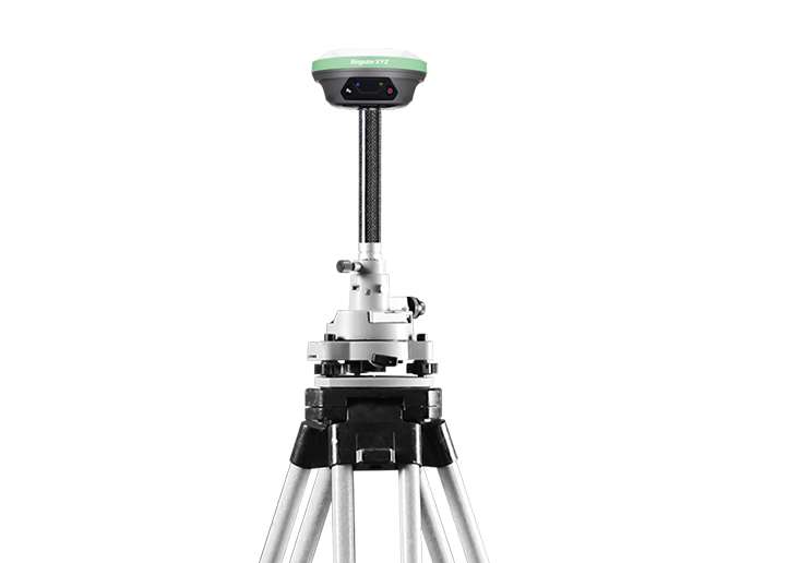
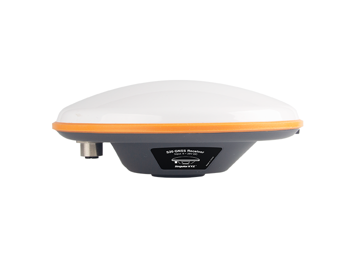
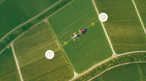
In our day-to-day RTK surveying, we usually use GSM or radio to transmit correction data from base to rover. In this blog, let’s unravel the intricacies of these concepts in radio mode to empower you in achieving a seamless setup.
了解更多