


 首页
首页

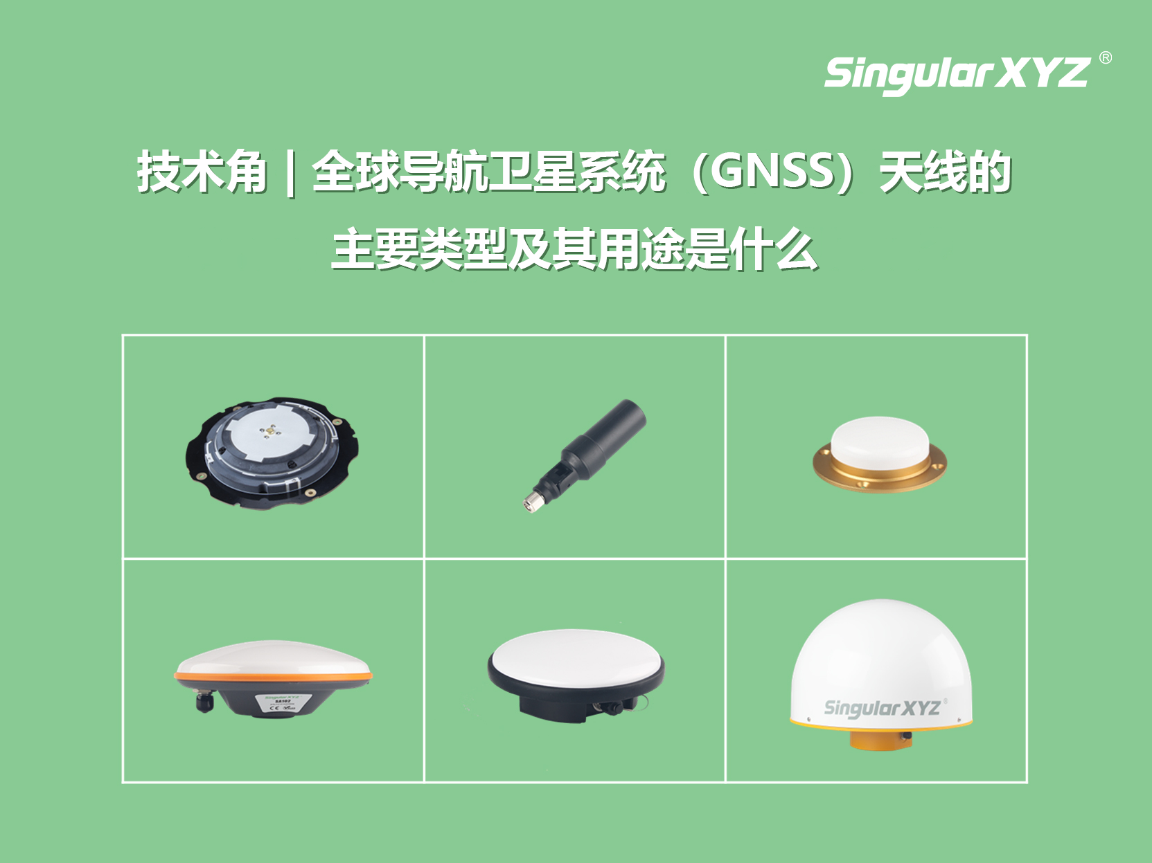
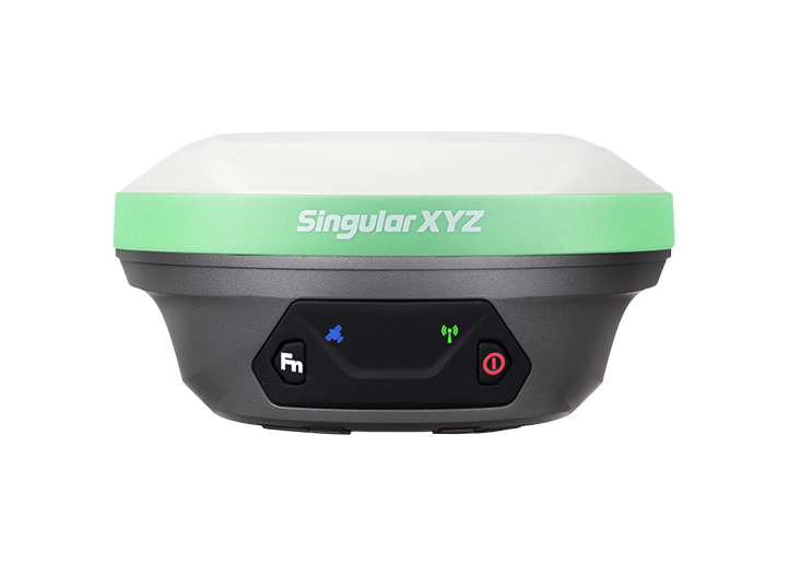
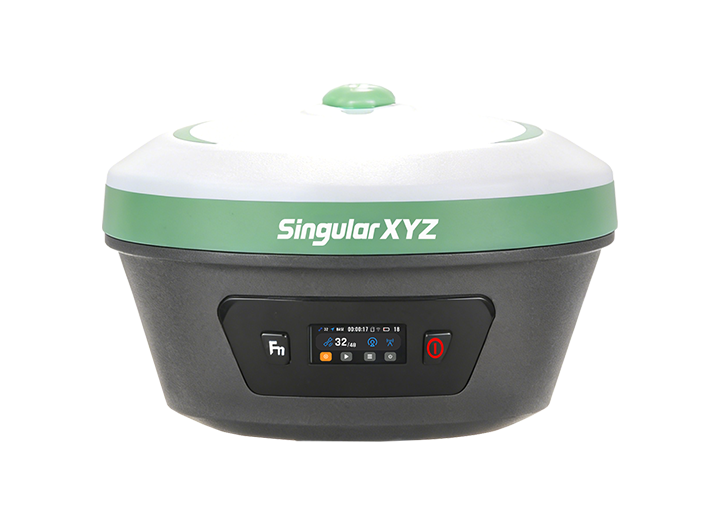
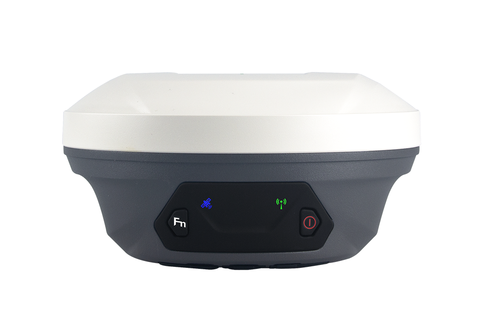
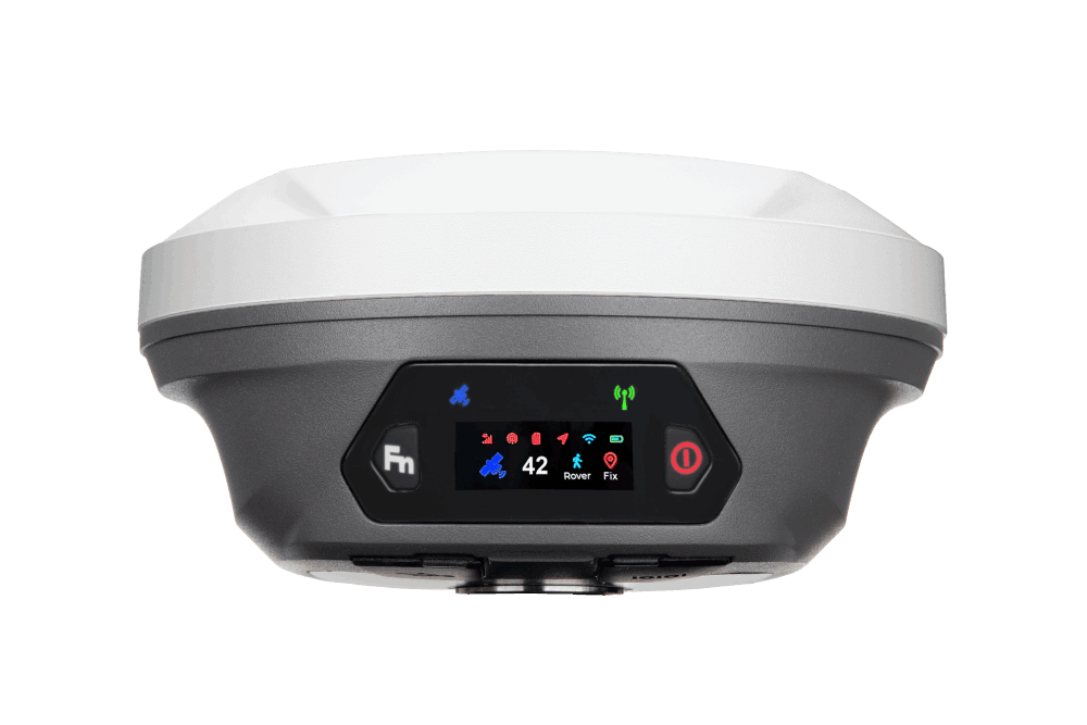
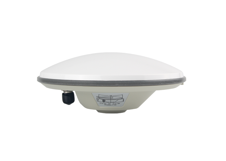
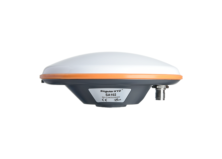
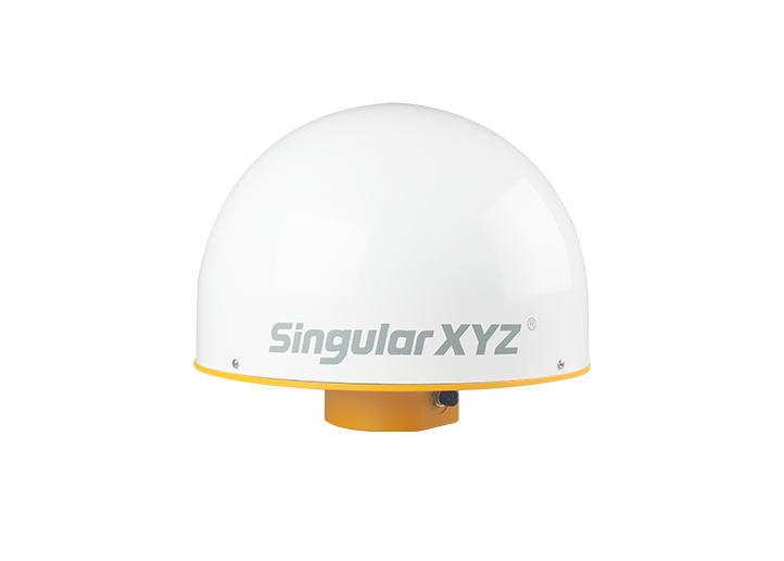
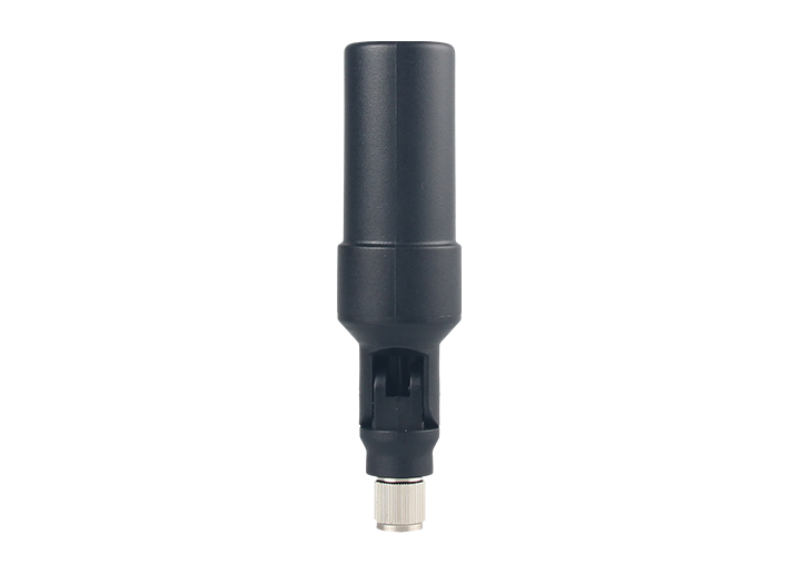
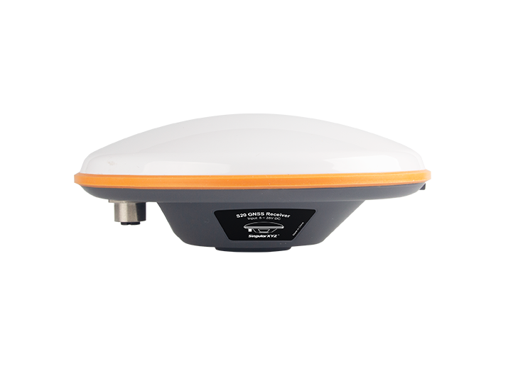
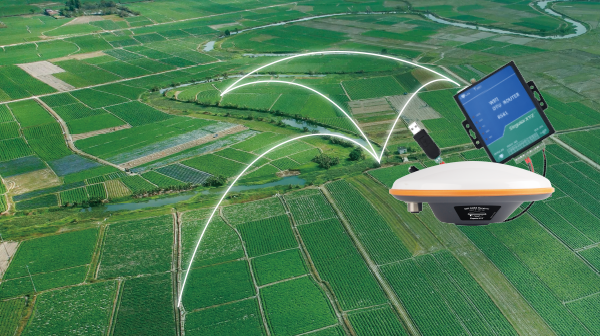
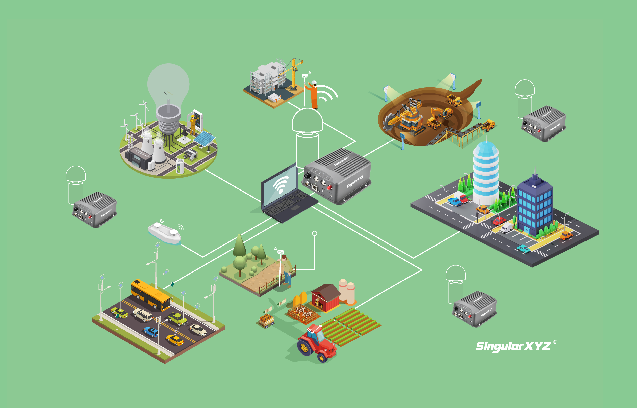
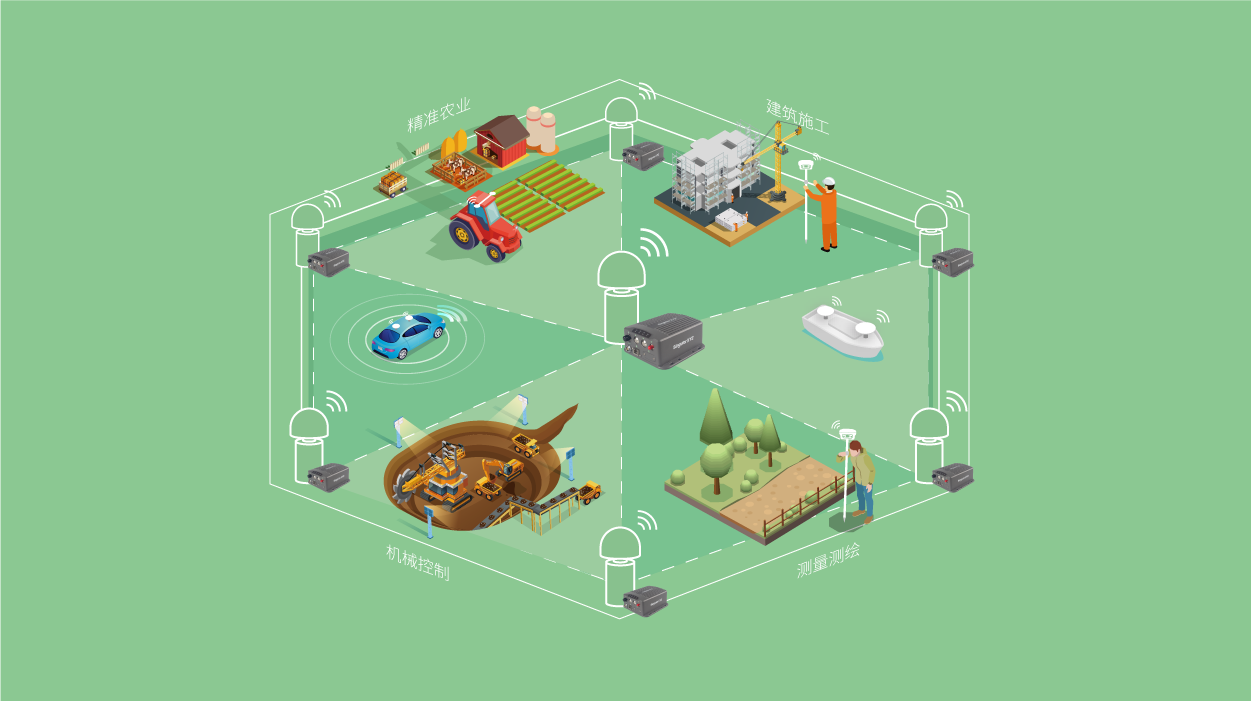
技术角 | 全球导航卫星系统(GNSS)天线的主要类型及其用途是什么
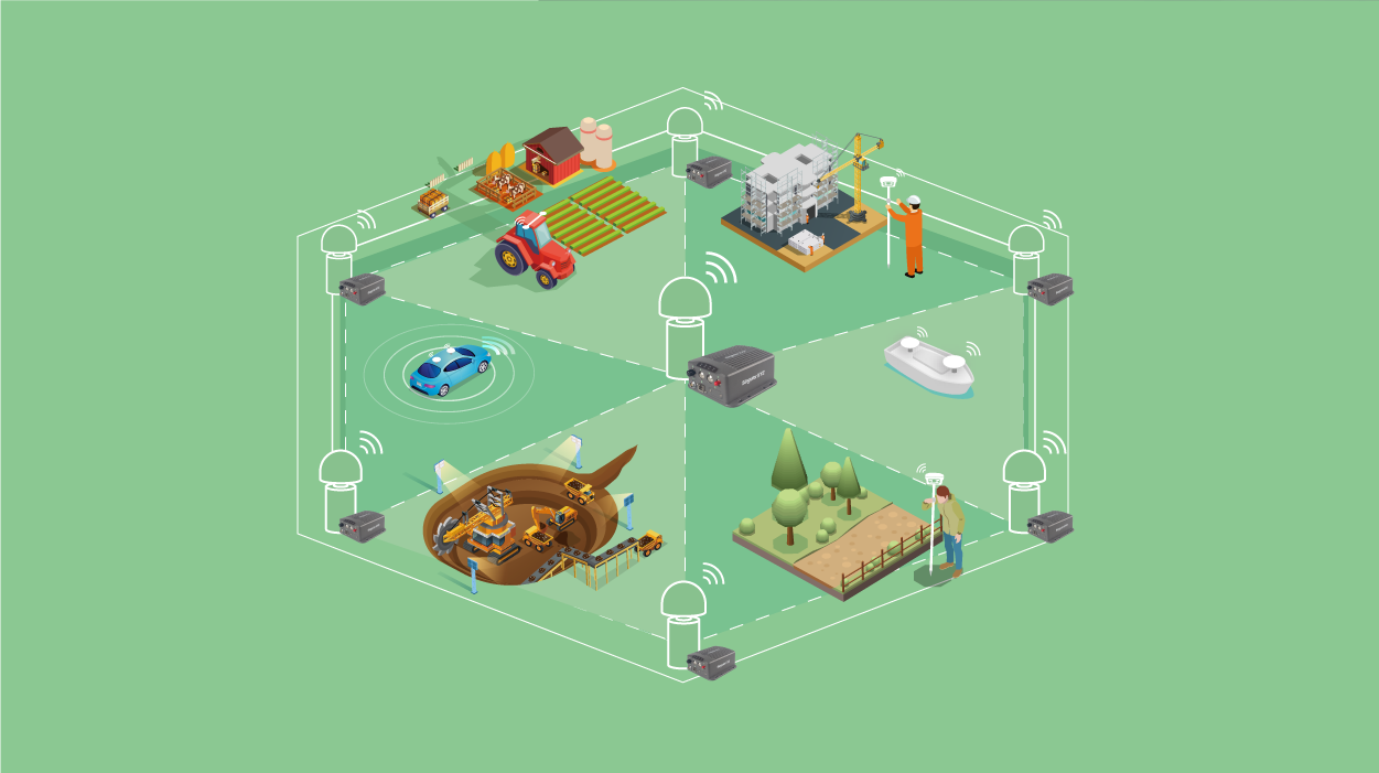
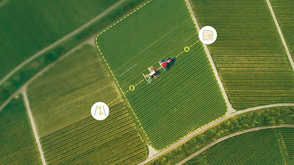
无论是进行厘米级土地测量、精准农业还是车辆导航,了解天线类型并选择合适的天线,都能直接影响你的定位性能。
了解更多