


 首页
首页

Geospatial
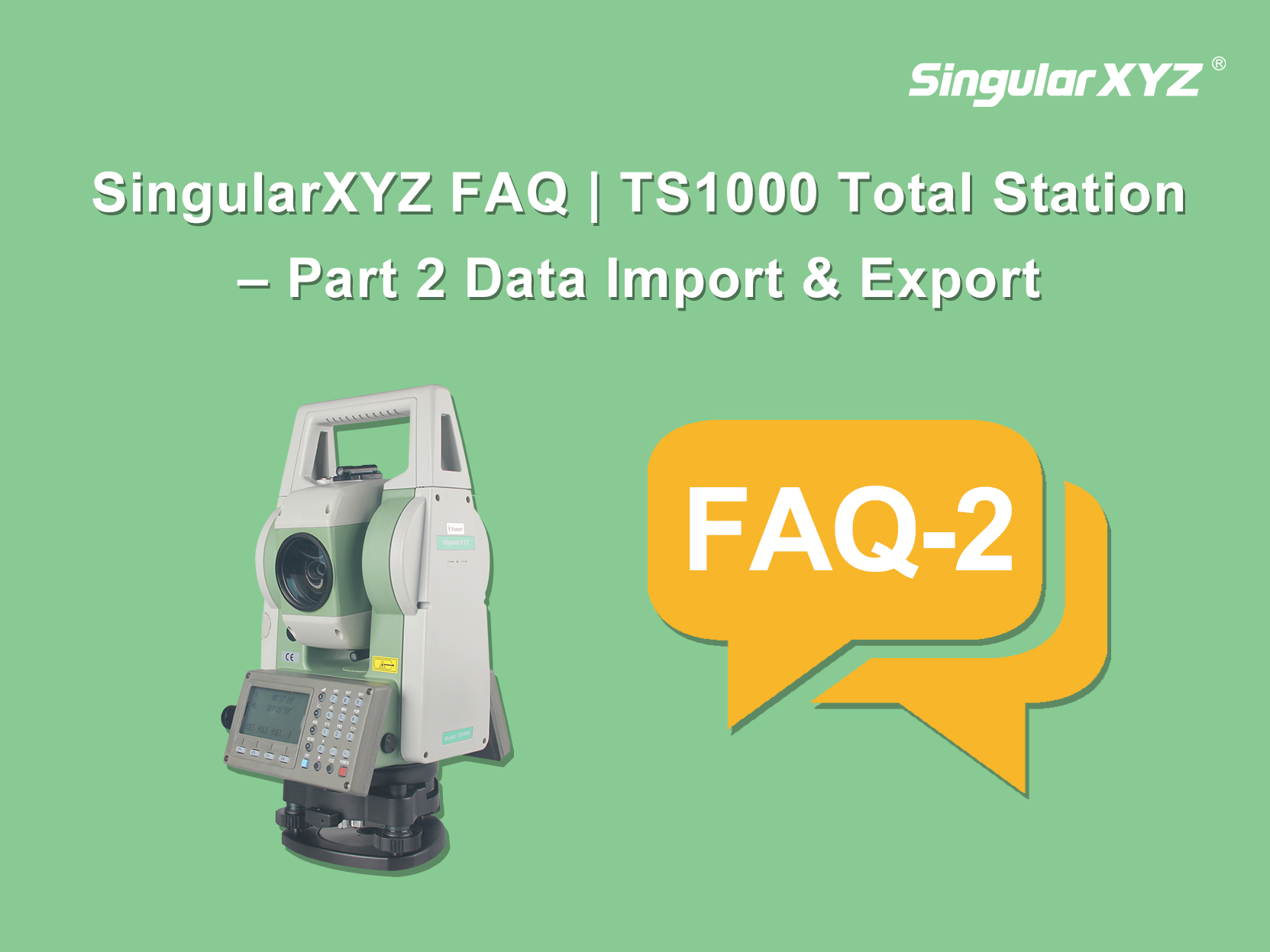
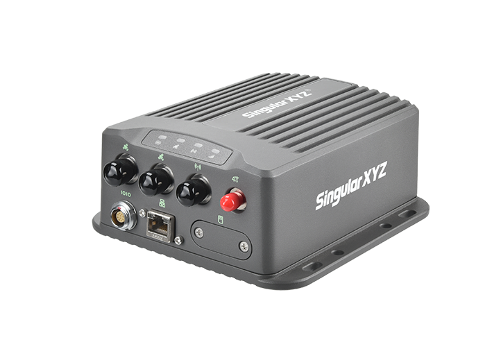
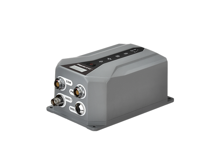
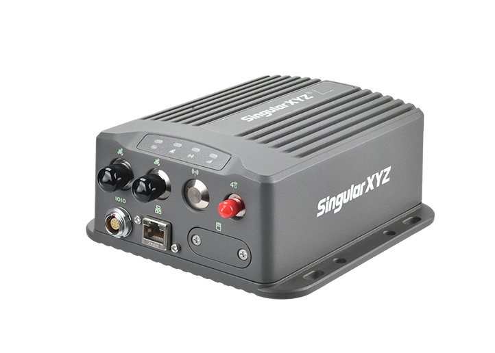
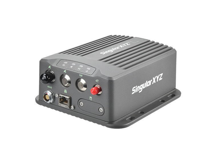
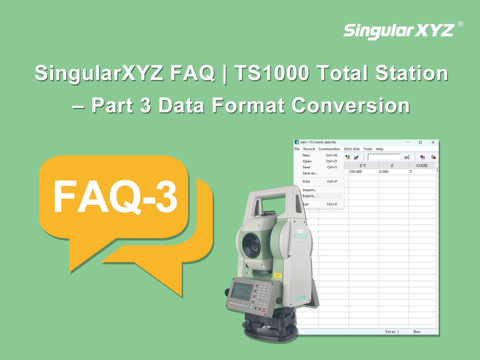
FAQ | SingularXYZ TS1000 Total Station – Part 3 Data Format Conversion
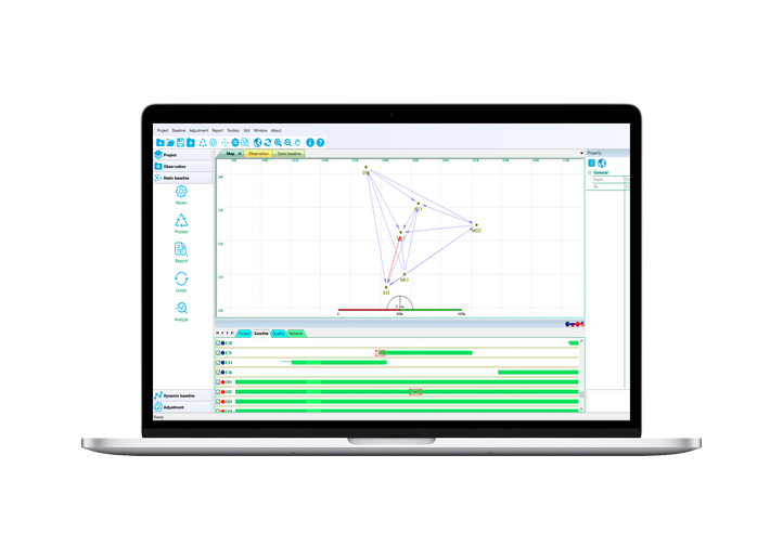
In our previous blog, we discussed how to export data directly from a total station. In this blog, we will introduce how to convert the exported data into the format you need through conversion software.
了解更多