


 首页
首页

Geospatial
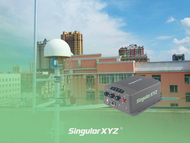
Tech Chat | How to build a CORS station? – Chapter 1
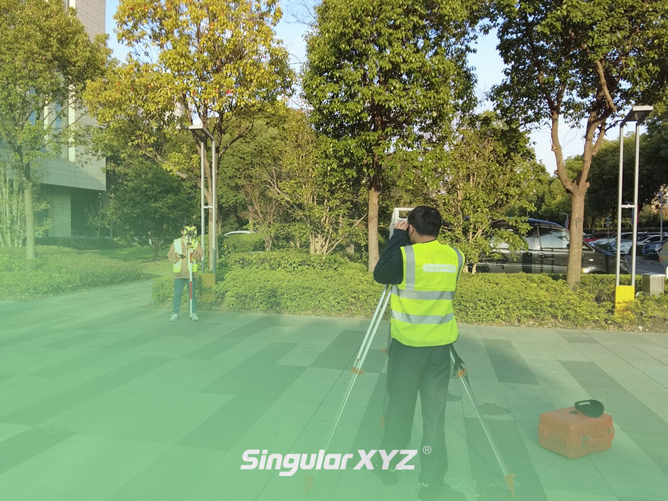
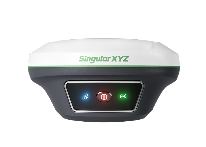
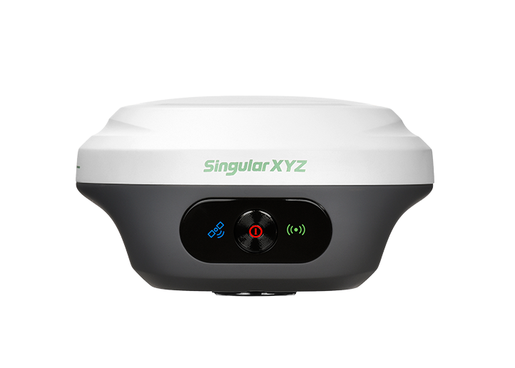
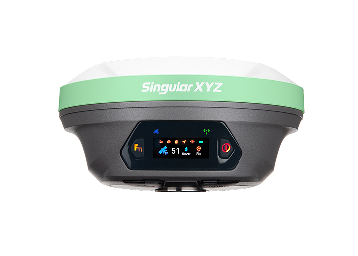
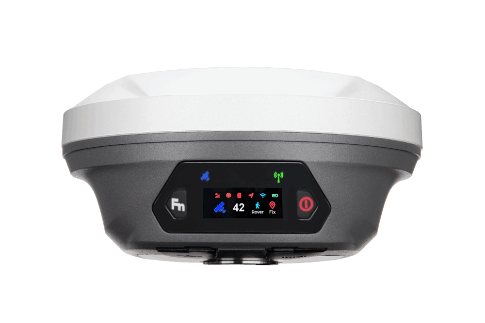
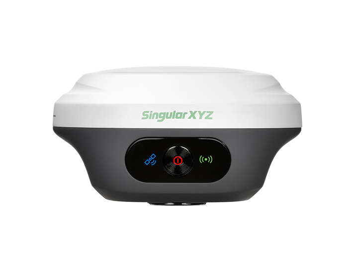
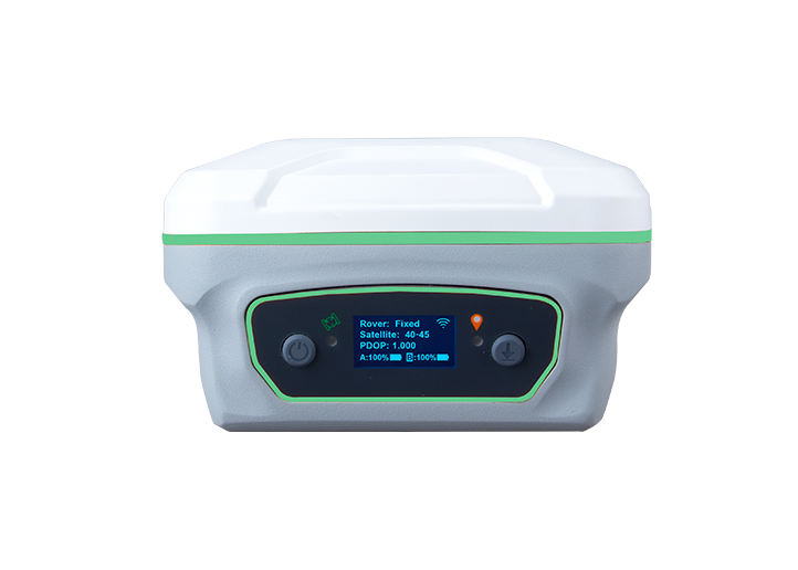
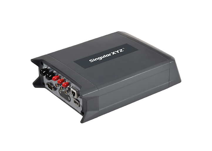
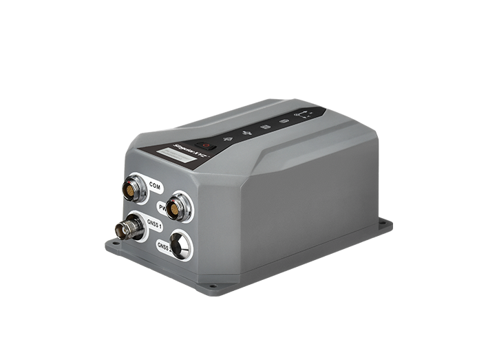
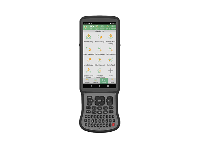
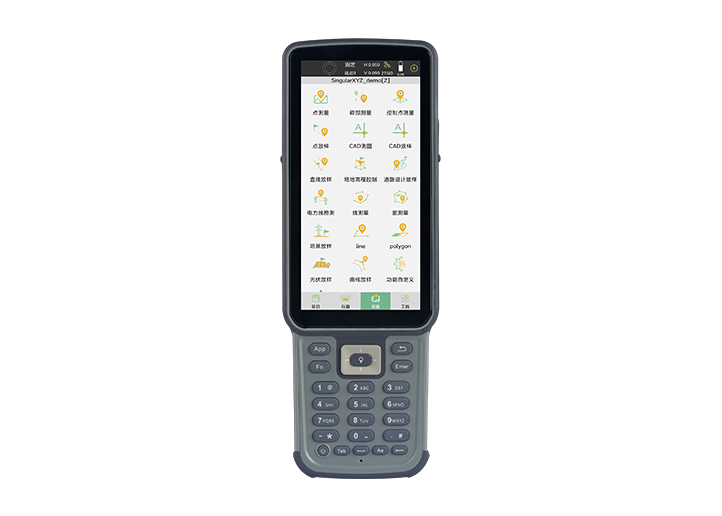
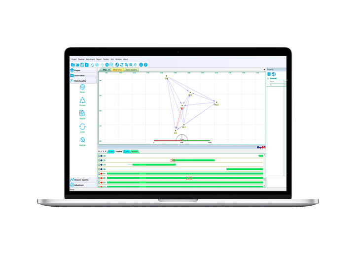
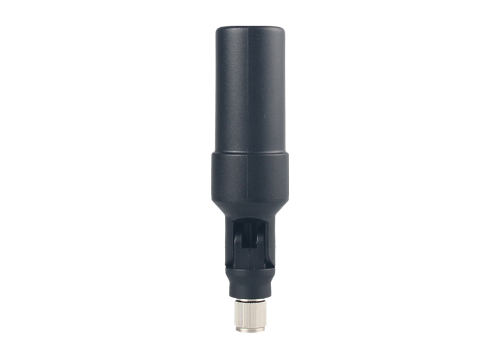
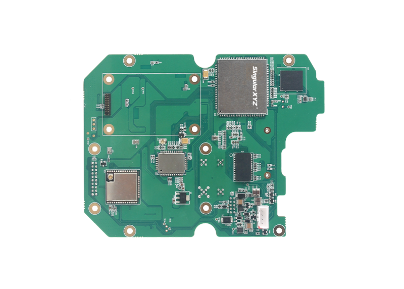
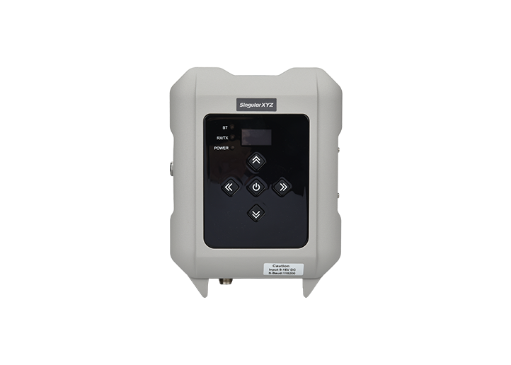
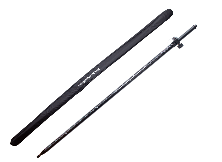
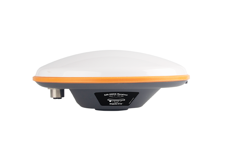
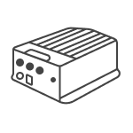
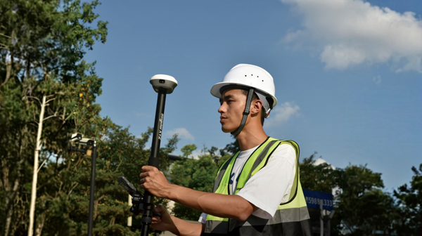
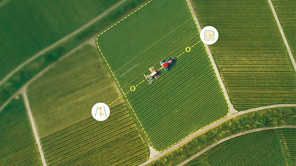
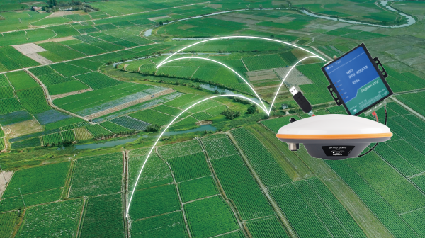
After site the location, we need to collect GNSS signal data and check if the data quality is sufficient to build a CORS station. In this chapter, we will take SV100 as an example to see how to check the GNSS data quality.
了解更多