博客
为您提供专业的产品教程、测试报告、技术技巧与行业知识。
Geospatial
Tech Chat | What is DDNS & how does it benefit CORS management?
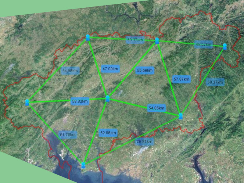
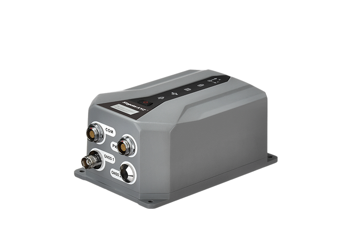
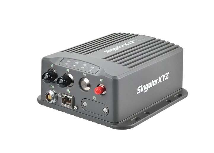
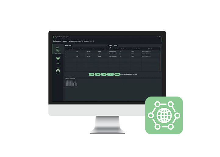
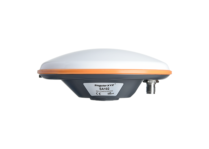
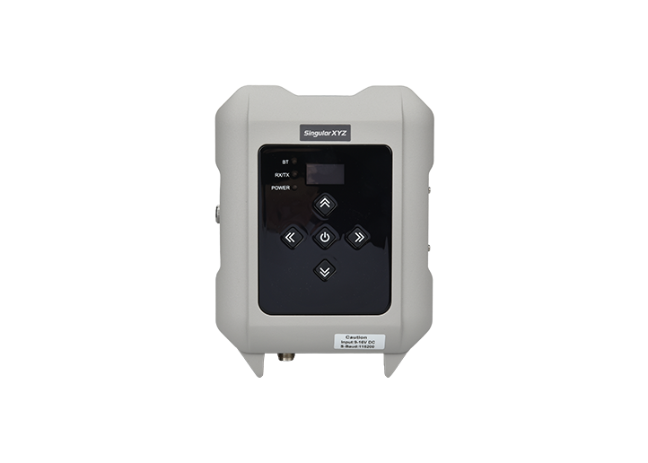
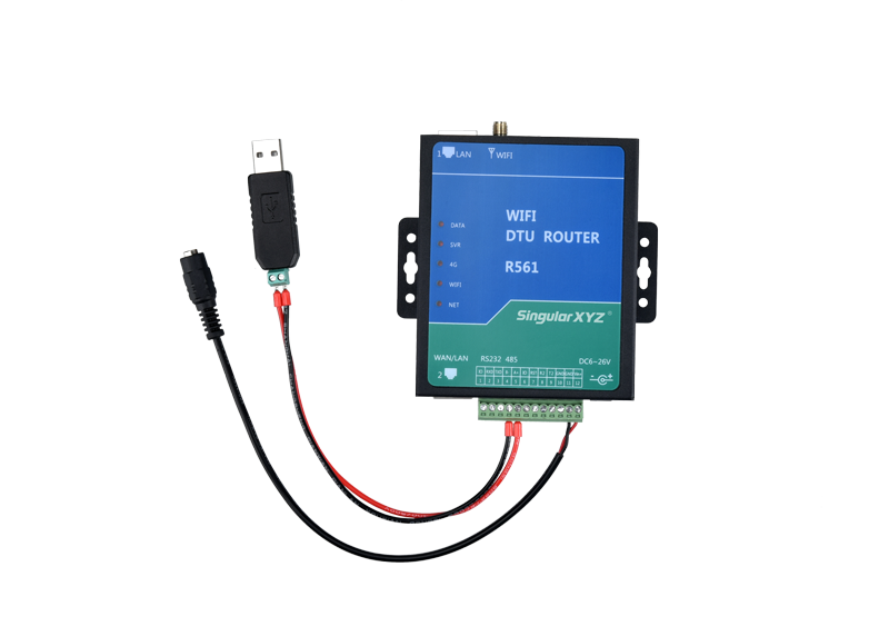
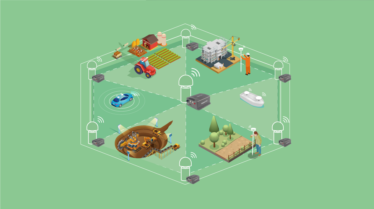
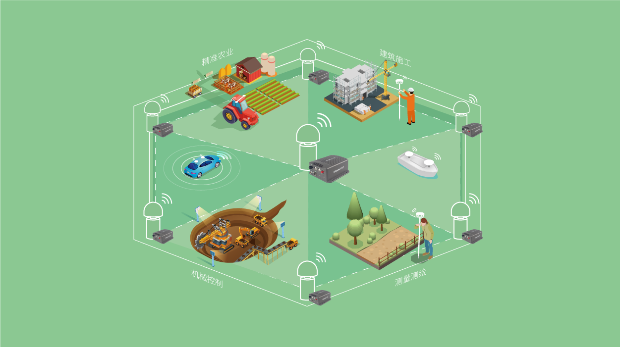
The CORS often consists of dozens of or even hundreds of reference stations with wide coverage. It’s hard to maintain each station onsite every day. So how to manage these stations remotely becomes the key point.
了解更多
Geospatial
Tech Chat | What is LoRa?
For most RTK users, radio is a common method of differential data transmission with no network coverage requirements. However, due to the limited transmission range and high power consumption...
了解更多
Geospatial
Tech Chat | Which is better among Static Survey, RTK or PPK?
When selecting the GNSS products, we can see the static accuracy, RTK accuracy and PPK accuracy in the specifications. Of these common GNSS measurement methods, is the higher accuracy the better? What's the difference...
了解更多
Geospatial
Tech Chat - What is Localization in Surveying Project?
Localization is the process of transforming from one coordinate system to another. By establishing one-to-one correspondence between two coordinate systems.
了解更多
Geospatial
Tech Chat | Projected Coordinate Systems - Malaysia Datum introduction
In this blog, we will introduce the major datum used in Malaysia. Except for some old Datum, the most commonly used projected coordinate system is GDM2000 now.
了解更多
Geospatial
Tech Chat | How does CORS work?
CORS system (Continuous Operational Reference System) is one of the development hotspots of modern GPS, which introduces the concept of network into the application of geodesy. The establishment of this system...
了解更多
联系我们